The Numbers Don’t Lie
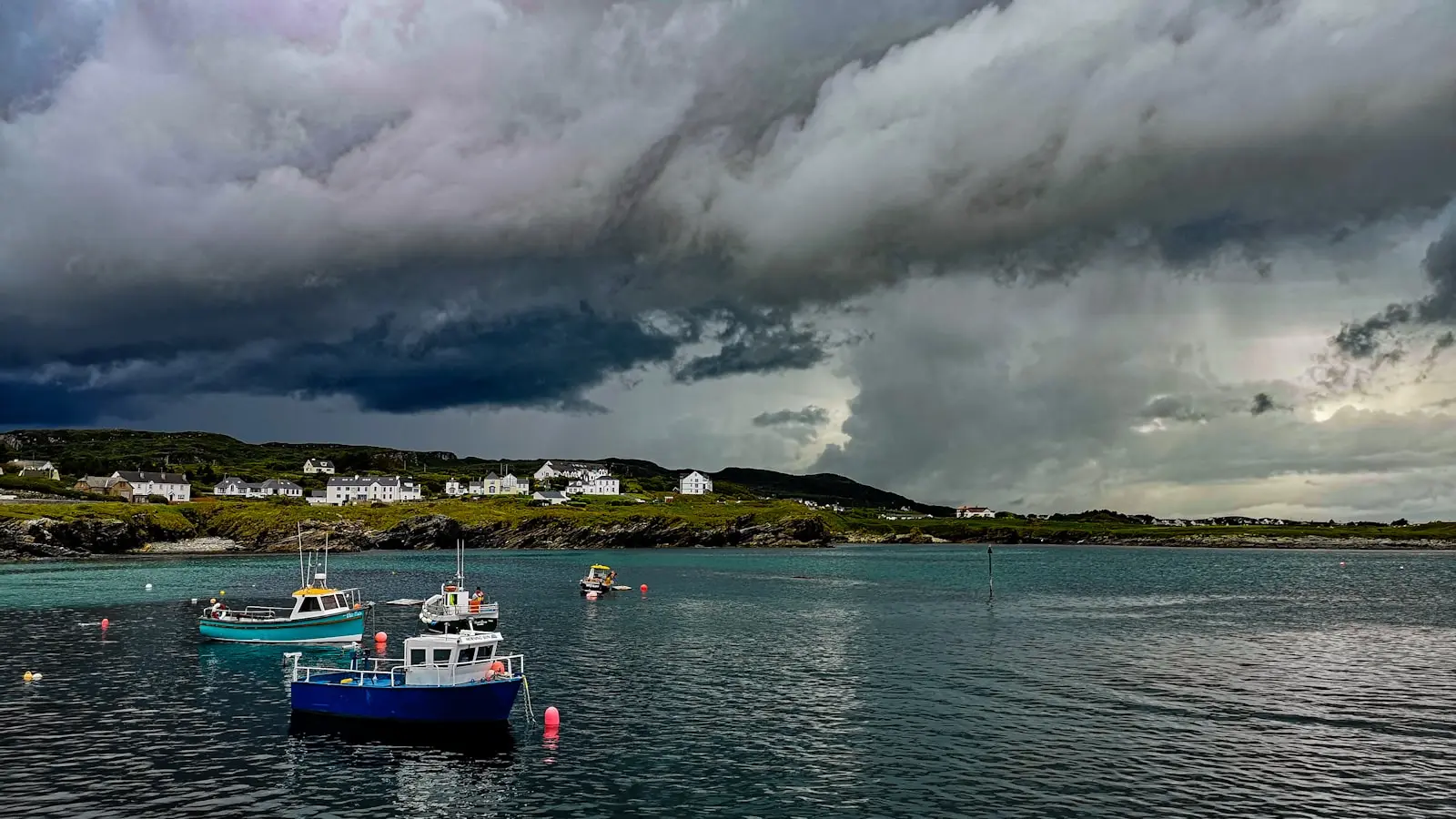
Donegal consistently ranks as Ireland’s least visited county by per-capita tourist overnight stays. Analysts point to a deficit of infrastructure rather than a lack of beauty. Rugged coastline, sparse public transport, and a 77-kilometer walking route through true wilderness — the Donegal Way — combine to filter out casual trekkers. For those who attempt it, the failure rate is high. Resupply points are spread thin. Mobile coverage drops unpredictably. (Is this a hike or a survival exercise?) The data from Reddit’s wilderness backpacking community confirms one pattern: preparation separates success from dangerous distress.
The Route Anatomy
The Donegal Way threads through coastal cliffs, blanket bogs, and isolated mountain passes. Average daily distance for a through-hiker is 15–20 km, depending on terrain and weather. Elevation gain per day varies from 200 to 800 meters. The weather window is narrow — May to September — with an average of 150 rainy days per year. Wind speeds regularly exceed 40 km/h on exposed sections. (Bring a tent that can handle a gale.) The trail is waymarked, but signage degrades in remote stretches. A GPS device with offline maps is not optional. It is mandatory.
The Resupply Reality
Only three towns lie directly on or within a short detour of the Donegal Way: Donegal Town, Ardara, and Glencolmcille. Each offers basic groceries but not specialized outdoor gear. The gap between Ardara and Glencolmcille is approximately 30 km of unforgiving terrain. Carrying four days of food is standard. Water sources are frequent but require treatment — giardia is a real risk. (Boil or filter. No shortcuts.) Several Reddit users report abandoning the route because they underestimated food weight. Ration planning is a skill most casual hikers never develop.
Weather as a Tactical Variable
Prevailing winds from the Atlantic bring rapid changes. A clear morning can become a 50 km/h squall by noon. Hypothermia risk is elevated even in summer. (The Irish call this a “soft day.” It is not soft.) Experienced trekkers recommend checking Met Éireann’s mountain forecast twice daily and having zero tolerance for lightning. The route has no bail-out points for 15 km stretches. Turning back is often the smartest tactical decision.
Gear Strategy: Weight and Durability
Lightweight camping gear is not a luxury. It is a survival prerequisite. Base weight should not exceed 10 kg. Reddit’s consensus: a three-season tent with a full rainfly, a sleeping bag rated to 0°C, and a stove that works in wind. (Alcohol stoves are unreliable here. Use canister.) Extra socks are not optional. The ground is perpetually damp. A pack liner, not just a cover, is the only way to keep gear dry. Waterproof boots with good ankle support are attacked repeatedly by bog mud. (They will get wet. They will not dry until you finish.)
Navigation: The Underappreciated Skill
The combination of peat bogs and low cloud makes traditional compass navigation difficult. Peat absorbs magnetic variation more than rock. A declination adjustment of 2.5° west is standard. (Most casual hikers ignore this. They should not.) GPS units with AA battery operation are recommended over rechargeable units because power resupply is unreliable. Solar panels are largely ineffective under Irish cloud cover. A paper map and compass backup is non-negotiable.
Fitness Requirements
A baseline of 10 km per day over rolling terrain is insufficient. Hikers should train with a loaded pack of 12 kg on uneven ground. The ability to ascend 800 meters with a full load is a minimum. Core strength reduces the risk of ankle injury on loose scree. (Yoga is not a substitute. Carry trekking poles.) Reddit users who failed on the Donegal Way often cite underestimating the cumulative fatigue of wet, boggy footing.
Comparison: Donegal Way vs. Wicklow Way
| Feature | Donegal Way | Wicklow Way |
|---|---|---|
| Length | 77 km | 132 km |
| Typical Duration | 3–5 days | 5–7 days |
| Resupply Points | 3 (limited) | 8 (more frequent) |
| Annual Rain Days | ~150 | ~120 |
| Public Transport Access | Poor | Moderate to good |
| Mobile Coverage | Sparse | Intermittent |
The Wicklow Way is longer but more forgiving. Donegal is shorter yet demands greater self-sufficiency. The resupply gap is the deciding factor for most hikers.
The Human Factor
Mental resilience matters more than physical fitness. Isolation is the defining characteristic of the Donegal Way. Hikers report going two full days without seeing another person. (This is not a social trail.) Self-reliance is tested every time a map reading is challenged by fog. Navigation errors can compound quickly. A few hours lost on a misidentified spur can mean a night without a planned camp spot. Emergency shelters exist but are marked on maps only; they may be occupied or damaged.
Why This Matters
The Donegal Way represents the last frontier of Irish hiking. It is a proving ground for self-sufficiency. For the unprepared, it is a dangerous exercise. For the disciplined, it is a rare opportunity to experience genuine wilderness in a country where most trails are tame. The numbers don’t lie: those who succeed on the Donegal Way have done their homework. Those who fail often learn the hard way. (And post about it on Reddit.) The scoreboard lies. The numbers rarely do. For the Donegal Way, the numbers are clear: this trail separates serious hikers from dreamers. Prepare accordingly.