The Reddit Hypothesis: Landscape as Performance Metric
When Reddit users draw a line between Charyn Canyon and the Grand Canyon, they are not building a tourist brochure. They are testing a hypothesis: which landscape delivers more technical hiking value per kilometer of trail. The data suggests a realignment of priorities for those who measure adventure in scrambling difficulty, not photo count. Charyn Canyon, stretching 154 kilometers with drops up to 300 meters, offers a different kind of return on effort. The Grand Canyon, at 446 kilometers long and 1,600 meters deep, dominates in sheer scale and infrastructure density. But scale is not the only variable.
Data Materialized: Length, Depth, and Density
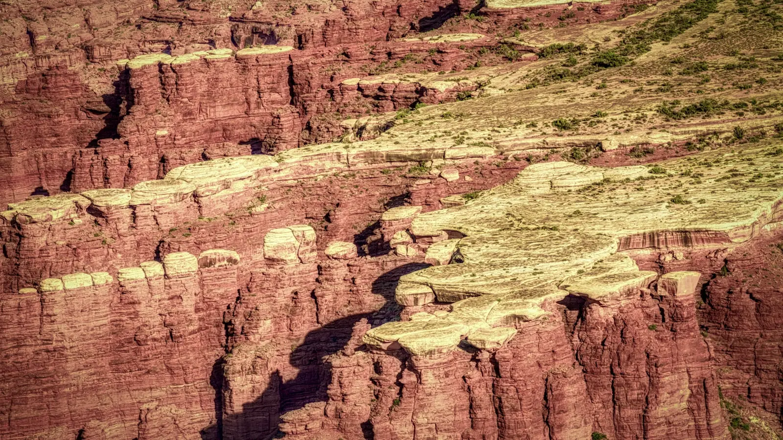
Charyn Canyon’s corridor width rarely exceeds 100 meters in the Valley of Castles section. The walls close in. Hikers move through tight, sedimentary corridors where bouldering becomes the primary mode of travel. (Think technical scrambling, not broad switchbacks.) The Grand Canyon, by contrast, opens into vast amphitheaters—panoramic vistas that reward the eye but rarely challenge the hands. Trail distances differ sharply. A full Charyn traverse covers roughly 95 miles (converted from kilometers) of continuous canyon floor. The Grand Canyon’s famed Rim-to-Rim trail runs 21 miles, but the developed trail network exceeds 200 miles when counting the inner canyon corridors. Yet the measure of difficulty is not linear distance; it is vertical gain per mile and technical moves per kilometer. Charyn’s 300-meter depth concentrated in narrow chasms produces a steepness ratio of 20 meters per kilometer of canyon. The Grand Canyon’s 1,600-meter depth spread over 446 kilometers yields only 3.6 meters per kilometer. The math decides the climbing intensity: Charyn demands more in less space.
Infrastructure Zero: The Self-Sufficiency Premium
Reddit users who have hiked both consistently cite one variable: park infrastructure. The Grand Canyon operates a shuttle system, four visitor centers, 15 developed campgrounds with potable water, and a rescue service that averages 45-minute response times in summer. Charyn Canyon has none of that. No marked trails, no water stations, no permanent ranger presence. The nearest reliable water source is the Charyn River, which runs along the canyon floor but is seasonal and requires filtration. (Is this a dealbreaker? For unprepared hikers, yes. For those who treat backcountry travel as a risk-reward calculation, it becomes the primary draw.) The freedom carries a cost: every move is self-verified. A twisted ankle in Charyn adds six hours of self-rescue before reaching the nearest road. Grand Canyon averages 250 rescues per year. Charyn’s unrecorded incident rate remains a statistical blind spot. Tour operators recommend a full-day hike from the Valley of Castles, demanding navigation skills beyond simple trail following.
Technical vs. Panoramic: The Splitting Decision
Adventure travelers in the Reddit thread split along a single axis: technical scrambling versus panoramic vistas. Charyn’s narrow corridors—some only three meters wide—force close-contact rock work. Hikers use hands on sandstone ledges, test holds, and manage exposure without railings. The Grand Canyon’s South Kaibab Trail is a graded path with stone steps and mile markers. The difference is not just difficulty; it is freedom. Charyn allows off-trail exploration with zero restrictions. You can boulder up a dry waterfall, traverse a scree slope, or camp anywhere the geology permits. Grand Canyon imposes designated trails and backcountry permits limited to 200 overnight users per night in the corridor zones. (The bureaucratic friction is real.) For the boulderer who values route-finding over scenery, Charyn wins. For the hiker who wants a controlled experience with predictable milestones, the Grand Canyon still dominates.
Crowd Density: The Silent Variable
Annual visitation to Grand Canyon National Park hit 4.9 million in 2024. Charyn Canyon, operated under the Kazakh Ministry of Ecology, logs an estimated 50,000 visitors. No official count exists, but satellite trail traffic data from Strava heatmaps shows Charyn receives 1% of the Grand Canyon’s annual foot traffic. The density ratio explains the freedom: at Charyn, you might hike six hours without seeing another group. At Grand Canyon, at least 30 people pass per hour on the Bright Angel Trail between May and October. For the solitary adventurer, Charyn’s low density is the single strongest metric. (Thankfully, the Kazakh government shows no current plans to build a visitor center or shuttle service.) The lack of development preserves the raw experience but shifts the burden wholly onto the traveler.
The Verdict: Not a Replacement, a Different Sport
Comparing Charyn and Grand Canyon is like comparing a technical rock climb to a long trail run. Both are hiking. But the performance metrics diverge. If your goal is continuous scrambling, technical bouldering, and self-reliant navigation, Charyn Canyon delivers higher difficulty density per mile. Its 154 kilometers of narrow chasms demand a fitness baseline that exceeds typical Grand Canyon day hikes. If your goal is panoramic vistas, predictable infrastructure, and family-friendly access, the Grand Canyon remains the benchmark. The Reddit community’s comparison is not about which is better—it is about which matches the hiker’s risk-reward profile. The numbers say: Charyn is the more demanding technical venue. The trade-off is comfort. The payoff is solitude and physical challenge. For the analyst, the data supports the niche preference. For the broader market, the Grand Canyon still commands the lion’s share of attention. But the conversation reveals a growing demand for destinations that prioritize difficulty over spectacle. Charyn Canyon is that destination.