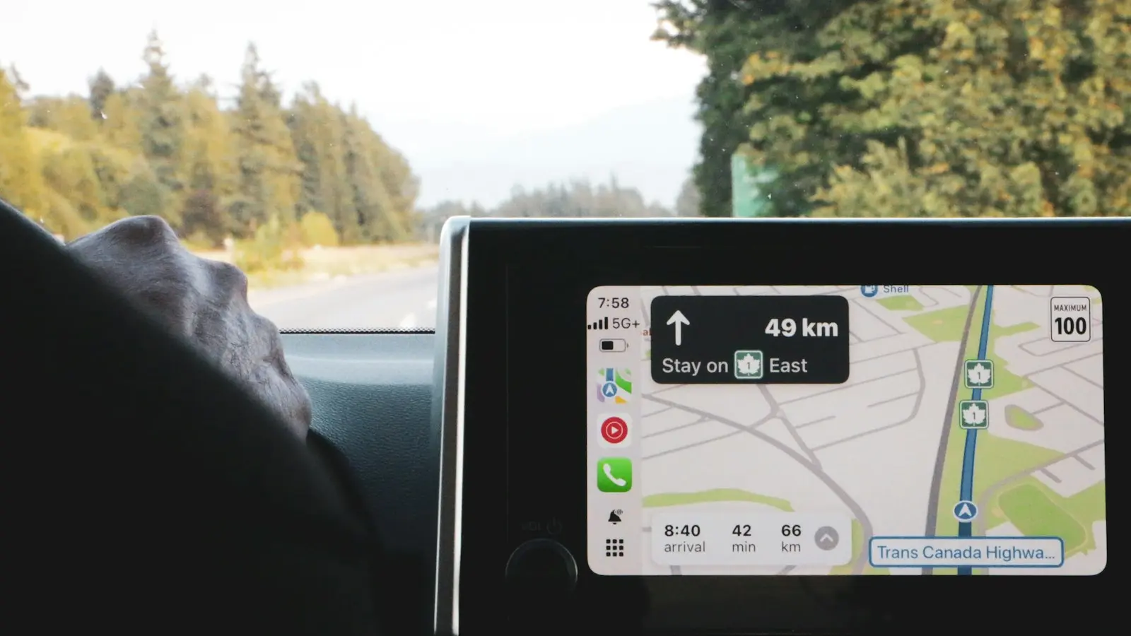
The best offline navigation apps depend on your route, not simply on the most familiar brand. Google Maps can suit straightforward trips, HERE WeGo focuses on downloadable regions and driving directions, Organic Maps emphasizes downloaded map use and privacy, and OsmAnd offers detailed planning tools for travelers willing to accept a steeper learning curve.
For a road trip, the most reliable setup is usually a primary app plus a second downloaded map, saved addresses, charging equipment, and a tested backup route. No offline map guarantees current road conditions, complete business listings, live traffic, or a legally usable route.
Key Takeaways
- GPS positioning can generally work without mobile data, but useful directions require downloaded maps, routing data, and destination information.
- Offline features vary by app and region. Search, automatic rerouting, traffic, road closures, and business details may be limited without connectivity.
- Choose an app based on your route, country coverage, rural detail, privacy preferences, and need for advanced planning—not brand familiarity alone.
- Test every critical function in airplane mode before departure, including searches, voice guidance, route calculation, and missed-turn recovery.
- Carry overlapping maps and saved or printed route details because map coverage does not prove that a road is open, safe, public, or suitable for your vehicle.
What “Offline Navigation” Really Includes
An offline map download can contain several different things, and apps do not all treat them the same way. At the basic level, it stores map data on your phone so roads, boundaries, places, and other geographic features can appear without mobile data.
That is different from saving a route. A saved route may preserve a planned line between two places, but it does not necessarily give the app enough data to calculate a new route after a missed turn. Some apps also let you download searchable points of interest, while others provide only limited offline search.
GPS positioning is a separate function. A phone can generally determine its position from satellite signals without cellular service or Wi-Fi. However, it still needs locally stored map data, routing information, and destination details to turn that position into useful turn-by-turn directions.
Live services normally require connectivity. These may include traffic conditions, temporary road closures, weather warnings, updated fuel prices, accident reports, business hours, and searches for destinations that were not downloaded. Automatic rerouting may work offline in some apps and regions, but it should be tested rather than assumed.
This distinction matters most on remote roads, during international travel, and near borders. A map may show a mountain road without confirming that it is open, public, paved, suitable for your vehicle, or legal to use during the season of your trip.
Useful comparison criteria include country and rural coverage, road detail, offline search, route calculation, walking and motorcycle support, update behavior, battery use, storage, privacy, account requirements, and recovery after a wrong turn.
Offline Navigation Apps Compared by Road-Trip Need
There is no universal winner among offline navigation apps. The right choice depends on whether you prioritize simple driving directions, international coverage, privacy, detailed route planning, or a dependable secondary map.
| App or tool | Usually most suitable for | Important checks before departure |
|---|---|---|
| Google Maps offline areas | Familiar interface, mainstream road navigation, and broad place information where supported | Confirm the entire route is inside downloaded areas and test offline search and rerouting |
| HERE WeGo | Travelers seeking downloadable regions and a driving-navigation workflow | Check country availability, offline search, routing modes, and current download limits |
| Organic Maps | Privacy-conscious travelers who want downloaded maps and useful place categories | Confirm rural-road detail, address search, route types, and update status |
| OsmAnd | Detailed planning, alternative transport modes, and extensive controls | Allow time to learn the interface and verify which features and downloads require payment |
| A second navigation app | Recovery when the primary app lacks a road, place, or route option | Download overlapping regions and test the backup independently |
Google Maps remains attractive because many travelers already know how to search for hotels, fuel, restaurants, and repair businesses. Its offline areas can be useful for straightforward driving, but offline use is not the same as the normal connected experience. Live traffic, current closures, newly added businesses, and some destination searches may not be available. Confirm the supported offline area and test it in airplane mode.
HERE WeGo is worth considering when you want an app built around downloadable regions and driving directions. Its value depends on the countries and map packages relevant to your trip, so check current official documentation before relying on it across several borders.
Organic Maps can suit travelers who prefer downloaded map data and less dependence on an account-based ecosystem. It may be useful for viewing roads, trails, and place categories where conventional business search is less important. Rural detail and address coverage can vary, however, and a listing does not prove that a business is open.
OsmAnd is better suited to travelers who want detailed map layers, route customization, or several transport modes. That flexibility can help with motorcycle trips, walking sections, cycling, and routes away from major highways. It can also make the app more complicated to configure, so check the current division between free and paid features, map downloads, and advanced routing tools.
These are not fixed rankings. An international traveler may prioritize country coverage, a privacy-conscious traveler may prefer downloaded-map use, and a driver crossing a large rural region may value a simpler route preview. Compare two tools on the actual route instead of assuming one brand will cover every problem.
Coverage, Search, and Routing Limitations That Matter on the Road
A downloaded map is a snapshot, not a promise about present conditions. It may not reflect a recent landslide, seasonal closure, construction detour, private-road restriction, flood, permit requirement, or newly opened road. Before entering remote territory, check official road, transport, park, and border guidance as well as the map.
Road visibility also does not equal route suitability. A narrow line on the screen may represent an unpaved track, a gated access road, a route intended for high-clearance vehicles, or a road that becomes impassable in bad weather. This matters on mountain roads, desert tracks, forest routes, and park-managed roads.
Offline search varies considerably. Before leaving, search without data for fuel stations, lodging, food, campsites, repair shops, trailheads, hospitals, and emergency facilities along the route. If the app cannot find a critical destination offline, save its address, coordinates, and directions in another format.
Cross-border trips need extra preparation. Download every country or region along the route, including border approaches and likely detours. A route that appears continuous on a connected map may encounter different map packages, licensing boundaries, restricted crossings, or incomplete coverage after the border.
Missed-turn recovery is another practical dividing line. Some apps can calculate a new route from downloaded data; others may preserve guidance only for the original route or offer limited alternatives. If you miss a turn and the destination was not downloaded, the app may be unable to search for it or generate a route without connectivity.
Do not assume an offline map will find the nearest safe place in an emergency. Save accommodation details, fuel stops, park contacts, local emergency numbers, and meeting points before entering a low-coverage area. Signs, local authorities, and available communications equipment matter more than an app’s confidence on the screen.
Battery, Storage, Privacy, and Everyday Usability
Offline maps use phone storage, but the amount varies by region, map detail, app version, and the features included in the download. Large countries, border regions, trail layers, and several backup apps can consume more space than a single city. Check available storage before departure and leave room for updates and normal phone operation.
Battery drain comes from more than the map file. Continuous GPS use, a bright screen, voice guidance, Bluetooth, cellular searches, background tracking, and heat can all reduce endurance. A stable car or motorcycle mount, reliable charging cable, and power bank are sensible equipment, but they do not replace a navigation backup.
A phone mounted in direct sun while charging and running navigation may become hot, reduce performance, or stop charging temporarily. Position it where it remains visible without blocking ventilation, and avoid treating the phone as the only source of route information.
Privacy practices differ. Depending on the app and settings, location history, account synchronization, analytics, advertising identifiers, background location, and downloaded-map activity may be handled differently. Read the current privacy policy and permission prompts, then disable permissions that are not needed for the navigation mode you plan to use.
Also check whether an account, paid plan, in-app purchase, or subscription is required for specific regions, advanced routing, extra map layers, or additional downloads. Terms can change, and a feature available in one country may not be available in another.
Usability is easy to underestimate. Test map readability in daylight, voice prompts, lane guidance where available, route previews, destination entry, switching between driving and walking, and recalculation speed. An app with more data is not necessarily better if its directions are difficult to interpret safely.
A Reliable Offline Navigation Setup Before Departure
Start by downloading maps for the complete route, not just the destinations. Include border regions, planned detours, nearby fuel stops, lodging areas, likely repair locations, and emergency destinations. If the app uses separate country or regional packages, install all of them before leaving reliable connectivity.
Then perform an airplane-mode test with location services enabled:
- Turn off mobile data and Wi-Fi, or enable airplane mode and then re-enable location services if your phone permits it.
- Search for a saved address, fuel stop, lodging, and emergency destination.
- Calculate a route from your actual starting point and preview the journey.
- Follow a short drive or walk while offline.
- Miss a turn safely and confirm whether the app recalculates without data.
- Test voice guidance, screen readability, and route instructions.
- Repeat the most important checks with your backup app.
Review the map update date, app permissions, storage space, charging setup, mount stability, and phone temperature. Save reservations, addresses, coordinates, border information, fuel stops, park rules, and local emergency details as offline files or screenshots. Printed notes are useful where a damaged phone or dead battery would otherwise remove all context.
A second offline map is valuable only if it covers the same critical area and has been tested. You can also save a route in a format that does not depend on one app, such as a written itinerary with road numbers, towns, distances, and stopping points. Keep this information accessible to a passenger or travel partner when possible.
Digital directions should supplement road signs, weather checks, local restrictions, vehicle judgment, and official guidance. The most dependable road-trip setup is layered: current information before departure, offline maps for known regions, a tested phone and charger, and a backup that still works when the primary app, route, battery, or map data fails.
FAQ: Offline Navigation for Road Trips
Can GPS work without internet or mobile data?
Usually, a phone can determine its position from satellite signals without mobile data. Turn-by-turn directions still require downloaded map and routing information, while searches, traffic, closures, and some rerouting functions may require connectivity.
Which offline Google Maps alternatives are best for international or remote road trips?
HERE WeGo, Organic Maps, and OsmAnd can each suit different travelers, but coverage and features vary by country and map version. Compare offline search, rural-road detail, route calculation, privacy settings, update procedures, and recovery after a missed turn instead of choosing by reputation alone.
How can I tell whether an offline navigation app will work before I leave?
Download the complete route, switch to airplane mode, search for important destinations, calculate a route, test voice guidance, and deliberately miss a turn in a safe location. Confirm that the backup app works too, then save or print critical addresses and route details.