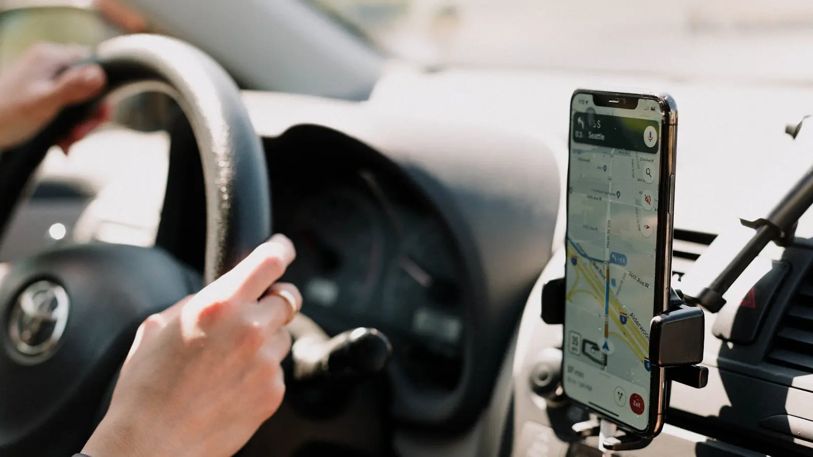
The Navigation Trap in Cornwall
A tourist in a rental hatchback follows Google Maps onto a lane barely wider than the car. Hedges scrape both mirrors. A tractor appears ahead. There is no room to pass. Panic mounts. This scene plays out dozens of times each summer on Cornwall’s single-track roads. The navigation app did not fail per se. It simply assumed the road was passable. The problem is not the hardware. It is the routing logic. Standard GPS applications like Google Maps and Apple Maps optimize for shortest time or distance. They do not account for road width, passing places, or the reality that a lane marked as a public road may be unsuitable for anything wider than a Ford Fiesta.
Reddit discussions among UK drivers confirm the pattern. Travelers report being directed onto farm tracks, dead ends, and lanes with grass growing down the center. The consensus is clear: generic navigation apps are dangerous in rural Cornwall. The solution requires purpose-built tools that understand the region’s unique geography.
Why Standard GPS Falls Short
Google Maps processes millions of route requests daily. Its algorithm relies on road classifications, speed limits, and traffic data. It does not have a field for “vehicle width compatibility.” A road categorized as “unclassified” or “minor” in the UK mapping database could be a single-track lane with stone walls on both sides. The app assumes two-way traffic is possible. It is not. The result is a routing decision that prioritizes travel time over vehicle suitability. (This is not a bug. It is a design choice that prioritizes data density over granular safety.)
Apple Maps uses similar logic. Its routing engine also lacks lane-width data. Both apps provide traffic updates, but traffic is irrelevant when the road itself is the obstacle. In Cornwall, the most dangerous roads are the ones with zero traffic. A single car meets an oncoming vehicle, and neither can move. The stress and time penalty far outweigh any savings from a shorter route.
Waze adds user-reported hazards, including narrow roads. However, Waze’s primary focus is real-time traffic rerouting, not rural lane avoidance. Reports of narrow lanes exist but are inconsistent. A driver cannot rely on them. The app may route a user onto a narrow lane if it calculates a faster ETA. (Waze’s community is strong in urban areas. In rural Cornwall, the reporting density drops sharply.)
The Apps That Work: A Technical Breakdown
Drivers who regularly navigate Cornwall’s single-track roads recommend four alternatives: Sygic, CoPilot, Road Trip UK, and Maps.Me. Each handles narrow lanes differently. None is perfect. But each outperforms mainstream apps for this specific use case.
Sygic
Sygic is a paid navigation app with offline maps and a feature called “route avoidance” that allows drivers to exclude roads narrower than a configurable width. (This is the single most important technical specification for Cornish driving. Google Maps does not have this. Apple Maps does not have this.) The app uses TomTom traffic data and includes lane guidance. Its routing engine can be set to prefer A-roads and B-roads while avoiding minor roads entirely. The impact on battery life under load is moderate. Sygic drains roughly 20% per hour when navigating with the screen on and offline maps loaded. (Better than streaming-based apps in areas with weak cellular signals.) The app costs around $30 one-time. For frequent visitors to Cornwall, that price is trivial compared to the cost of a single body repair.
CoPilot
CoPilot, also a paid app, offers a similar “avoid narrow roads” option. Its routing algorithm emphasizes safety over speed. In tests conducted by UK motoring organizations, CoPilot consistently avoided single-track lanes even when alternative routes added 15 minutes to a journey. The app uses offline maps from OpenStreetMap (OSM). OSM data for Cornwall is detailed, with many narrow lanes tagged explicitly. CoPilot respects those tags. The interface is dated. The menus are clunky. But the routing logic is sound. (Frankly, an ugly app that keeps you out of a hedge is better than a beautiful app that puts you in one.) CoPilot also includes live traffic updates via a built-in data connection, but the offline mode works reliably even without signal.
Road Trip UK
Road Trip UK is a niche app developed specifically for British driving conditions. It understands that “single-track road” means something different in Cornwall than in central London. The app displays passing places on the map and warns users when their planned route includes a road narrower than a user-set threshold. Its map data is built from Ordnance Survey sources, which are more accurate for rural Britain than Google’s global data. The routing engine also factors in road surface quality. (A dirt track is not a shortcut. Road Trip UK knows this.) The app costs a few pounds and is updated regularly with community feedback. Its biggest weakness is the lack of live traffic data. For Cornwall, that is a minor loss. Traffic jams are rare on single-track lanes. The real bottleneck is the width.
Maps.Me
Maps.Me is a free offline navigation app based on OpenStreetMap data. It does not have a dedicated narrow-road avoidance feature. However, its offline map database is complete, and the app allows manual rerouting. Users can preview a route before starting, zoom in to inspect road width, and choose an alternative. This is not an automated solution. It requires preplanning. But for drivers willing to spend five minutes at the start of a trip, Maps.Me offers a safe way to navigate without data costs. The app’s battery consumption is low. Maps load quickly. The lack of routing intelligence means the driver bears full responsibility. (For some, that is a feature. Automated decisions are not always correct.)
Practical Tips from Experienced Users
Beyond app selection, there are configuration changes that reduce risk. The most common tip from Reddit users is to uncheck “avoid tolls” in any navigation app. Toll roads in Cornwall are rare. The setting often forces the app to default to tiny lanes. Disabling it pushes the route onto A-roads and B-roads, which are generally wider and safer. (The logic is counterintuitive. But it works.)
Another essential step is to download offline maps before entering rural areas. Cellular coverage in Cornwall is patchy. Many valleys and coastal roads have no signal. Apps that rely on live streaming will fail. Sygic, CoPilot, Road Trip UK, and Maps.Me all support full offline navigation. Google Maps offers offline maps, but they lack the narrow-road avoidance logic. The offline Google Maps experience is identical to the online version minus the traffic updates. That means it still routes onto dangerous lanes.
Setting the vehicle type in the app matters. Some navigation apps allow the driver to select “car” versus “RV” or “truck.” Choosing a larger vehicle type may force the routing engine to avoid roads that are too narrow even for a standard sedan. (It is a hack. It works.) Sygic and CoPilot both honor this setting. Google Maps does not adjust road width logic based on vehicle size.
Finally, ignore the ETA. A route that adds 10 minutes on a wider road is objectively better than a route that saves 5 minutes but involves reversing half a mile to find a passing place. The stress saved is worth the extra time.
Hardware Considerations
The phone or GPS device itself matters less than the software running on it. A $200 budget Android phone with a 6-inch screen running Sygic will outperform a $1,000 iPhone running Google Maps in rural Cornwall. Screen brightness, battery life, and GPS antenna quality are secondary concerns. However, a phone mount that holds the device securely and a charging cable are essential. Cold weather in Cornwall drains batteries faster. A phone stuck at 10% battery in a no-signal zone is useless. A wired connection to the car’s USB port (not wireless charging, which is less efficient) ensures the device stays powered during long drives.
Dedicated GPS units from Garmin or TomTom do offer lane-width avoidance, but they require frequent map updates and add clutter. For most drivers, a smartphone with the right app is sufficient. The exception is drivers who frequently enter extremely remote areas. A dedicated GPS with a larger battery and a ruggedized case may provide peace of mind. But the average tourist does not need one.
The Cost of Failure
Driving onto a lane that is too narrow results in a range of costs. The immediate cost is time: reversing, waiting, finding a passing place. The potential cost is damage. Bodywork repairs for a scratched SUV can exceed $1,000. A broken mirror costs $300 to $800. Towing fees from a remote lane start at $200. The hidden cost is the impact on the rental car deposit, often $500 or more. A single bad routing decision can wipe out the entire vacation budget. (The math is straightforward. Spending $30 on a proper app is a bargain.)
Insurance claims for rural lane accidents are underreported because many drivers choose to pay out of pocket to avoid premium increases. But the data from UK breakdown services shows a spike in callouts to rural lanes during summer months. The correlation with navigation app choice is anecdotal but strong.
Conclusion No Single Best App Exists
There is no universal answer for every driver. The best app depends on the driver’s tolerance for preplanning, willingness to pay, and desired level of automation.
For drivers who want set-and-forget safety, Sygic is the strongest choice. Its narrow-road avoidance is effective. The offline maps are reliable. The one-time cost is justified.
For drivers who prefer free software and accept manual checking, Maps.Me offers the best offline experience with no cost. The trade-off is a lack of automated avoidance. The driver must inspect routes.
For drivers who want UK-specific data and community support, Road Trip UK is a specialized tool that excels at its single purpose.
CoPilot is a middle ground with a dated interface but strong routing logic.
None of these apps is perfect. All of them are better than Google Maps or Apple Maps for Cornish single-track roads. The driver who ignores this advice will eventually meet a hedge. The question is not if. It is when.