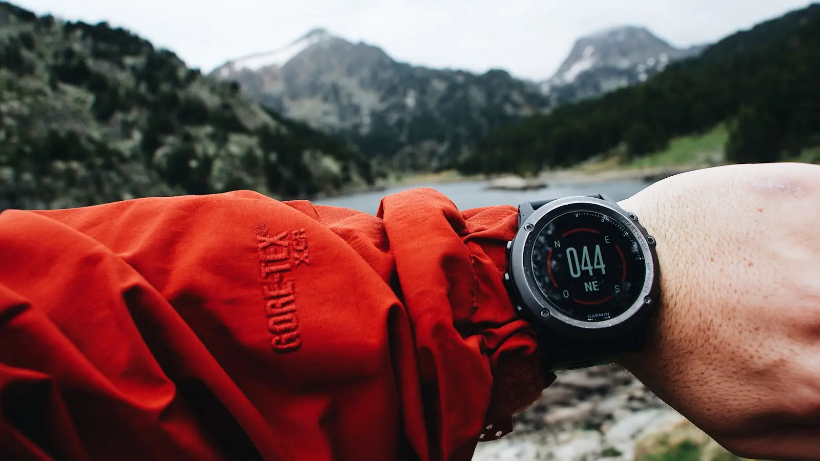
Trail GPS watches calculate elevation gain using two primary methods: GPS trilateration for 3D position and barometric altimeters that measure air pressure. Barometric sensors generally provide more accurate cumulative gain, but they require calibration and are sensitive to weather changes. Understanding how each technology works and their limitations helps you interpret your watch’s numbers and get more consistent results.
Key Takeaways
- Barometric altimeters are more accurate for cumulative gain than GPS alone, but need calibration and are affected by weather.
- GPS altitude is inherently less accurate due to satellite geometry and signal multipath errors, often producing large swings or negative readings on flat ground.
- Major brands like Garmin, Suunto, COROS, and Apple combine both sensors with algorithms such as Kalman filters or map-based corrections to improve reliability.
- Practical steps like calibrating at a known altitude, keeping the watch at stable temperature, and using multi-band GPS settings can reduce errors.
- No watch is perfect; for the most consistent results, use a barometric watch with map correction and treat readings as relative rather than absolute.
The Two Technologies Behind Elevation Tracking: GPS vs Barometric
GPS watches determine your position by triangulating signals from a constellation of satellites. For a 3D fix (latitude, longitude, and altitude), the watch needs at least four satellites. The horizontal position is usually very good, often within a few meters under open sky. But altitude estimation is another story. The satellites are spread across the sky horizontally, with few directly overhead. This geometry makes vertical accuracy much worse than horizontal. Typical GPS altitude errors range from ±20 to 50 meters, and sometimes more in challenging conditions.
Barometric altimeters work differently. They measure the ambient air pressure and convert that to an altitude using a standard atmospheric model. As you climb, pressure drops; as you descend, it rises. A good barometric sensor can detect altitude changes as small as 1-3 meters under stable conditions. Because they measure pressure directly, they capture every step of a climb and descent, making them ideal for calculating total elevation gain. However, they require a known reference point to convert pressure to absolute altitude, and they are affected by changing weather.
For accurate trail GPS watch elevation gain tracking, a device that combines both technologies gives the best results. Pure GPS elevation data is noisy and unreliable for cumulative gain, while barometric altimeters provide smooth, high-resolution data when properly calibrated.
Why GPS Elevation Is Inherently Less Accurate
The main reason GPS altitude is less accurate is satellite geometry. The satellites used for positioning are always above the horizon, but their distribution relative to your location can be poor for vertical calculations. When satellites are clustered in one part of the sky (low elevation angles), the geometric dilution of precision (GDOP) is high, meaning small timing errors translate into large altitude errors. The watch needs satellites spread evenly around the sky to get a good vertical fix, but that rarely happens in real conditions.
Multipath errors also degrade altitude readings. Signals bouncing off canyon walls, cliffs, or even dense tree branches can introduce delays that throw off the position calculation. Under forest canopy or in deep valleys, the watch may lose lock on some satellites and rely on fewer signals, causing the altitude to drift. Users sometimes see their watch report negative elevation gain on a flat trail, or gain hundreds of meters while standing still. This is the GPS struggling to maintain a stable vertical position.
Field tests confirm this pattern. While hiking along a ridgeline with clear sky, GPS elevation can be fairly stable. But when you enter a forested section or a steep ravine, the altitude can jump wildly. Every time the watch reacquires satellites after a lost signal, it may lock onto a slightly different altitude, adding phantom gain or loss to your total.
Barometric Altimeters: Why They’re Better for Gain—But Have a Catch
Barometric altimeters deliver smooth, continuous elevation change data because they sample pressure hundreds of times per second. That makes them excellent for tracking every uphill stride and downhill step. In stable weather, a barometric sensor can give total elevation gain within 3-10% of the true value, far better than GPS alone.
The catch is that air pressure changes with weather, not just altitude. A fast-moving cold front can cause pressure to drop by several millibars in a few hours, which the sensor interprets as a climb of 100 meters or more. If you are hiking through a storm, your watch may add phantom gain on a flat section or double your actual gain. This is the “pressure drift” problem.
Temperature also affects barometric sensors. When you take your watch off and it cools down quickly, or when you move from a cold stream crossing to a warm summit, the internal temperature change can shift the pressure reading. Some watches compensate with temperature sensors, but rapid changes can still cause errors. For best trail GPS watch elevation gain accuracy, keep the watch on your wrist to maintain a stable temperature and allow the sensor to acclimate.
How Major Watch Brands Combine Both Systems
High-end trail watches use sensor fusion algorithms to blend GPS and barometric data. Garmin employs a Kalman filter that continuously estimates the most likely altitude based on both inputs. It also uses preloaded topographic maps to correct elevation by matching your position with known terrain. When the barometric sensor drifts due to weather, the GPS altitude (even with its errors) helps anchor the reading.
Suunto uses a patented FusedAlti™ algorithm that prioritizes the barometric sensor for short-term changes and periodically recalibrates it using GPS altitude when weather patterns shift. This prevents long-term drift without introducing GPS noise.
COROS watches use multi-band GPS (L1+L5) for better signal quality and combine it with barometric data. They prompt the user to calibrate manually at known points, such as a trailhead sign. In this way, the watch has an accurate reference before the hike.
Apple Watch Ultra relies on a barometric altimeter and frequent auto-calibration from cellular and Wi-Fi networks. In areas with reliable network coverage, it can stay remarkably accurate. But in remote backcountry, it behaves like any other barometric watch and can drift.
Brands that include detailed map data (like Garmin and Suunto) can cross-reference your position with digital elevation models. If the barometric sensor reports an altitude that doesn’t match the map at a given GPS coordinate, the watch can correct it. This is why newer watches with mapping features tend to have more stable elevation gain numbers.
Practical Calibration Tips for Consistent Readings
You can improve trail GPS watch elevation gain accuracy with a few simple habits.
First, manually calibrate your barometric altimeter at the trailhead if you know the exact elevation. Most watches have an option to set altitude using a known reference from a trail sign, a topo map, or a GPS waypoint. Doing this before you start gives the sensor a solid baseline.
Second, enable auto-calibrate if your watch supports it. This lets the watch adjust using GPS altitude when it detects stable conditions. However, auto-calibrate can be fooled by long periods of poor GPS reception. In deep canyons or heavy forest, manual calibration is more reliable.
Third, avoid rapid temperature changes. Keep the watch under your sleeve in cold weather, and don’t strap it to a backpack strap where it can cool and warm rapidly. Some watches have an altimeter mode that expects steady wrist temperature.
Fourth, choose the right satellite setting. For best GPS accuracy in open sky, use multi-band (L1+L5) if available, or GPS+GLONASS. In dense forests, multi-band signals can penetrate canopy better and reduce altitude jumps.
Finally, consider post-processing. Apps like Strava can apply elevation corrections using barometric data from other users or map databases. If your watch’s gain looks inflated, compare it with Strava’s adjusted numbers.
Side-by-Side Accuracy: What the Data Shows
In a published comparison test on a 2,100-foot climb (Mount Diablo), several popular watches reported total elevation gain ranging from about 2,026 feet to 2,231 feet. The reference value from trail markers was 2,139 feet. The best performers (within 10 feet of the reference) used barometric altimeters with intelligent fusion algorithms. The watch that relied more on GPS elevation underreported the gain by over 100 feet.
This variation is typical. Over a 3,000-foot hike, you might see differences of 150-300 feet between models. Barometric watches consistently track gain more faithfully than pure GPS watches, but even they can diverge significantly during weather transitions. For example, if a storm rolls in during the descent, the watch might show an extra 200 feet of gain that never happened.
The takeaway: no watch is perfectly accurate. Barometric altimeters give the best relative gain data, but only if you calibrate them and understand when drift occurs. For critical training or race data, cross-check your watch against known trail elevations.
Frequently Asked Questions
Why does my watch show negative elevation gain on a flat trail?
This happens when GPS altitude jumps due to satellite geometry or signal loss. The watch records a higher altitude at one point and a lower one later, even though you stayed flat. Barometric watches rarely show this because they measure continuous pressure changes. If you see it, switch to a barometric-based elevation source in your settings.
How can I stop my watch from doubling my elevation gain after a storm?
Enable manual or auto-calibration before the weather change. If you notice pressure dropping, pause the activity, recalibrate at a known altitude (like a lake or a flat section), and resume. Some watches allow you to reset the barometer mid-hike. Avoid using a barometric-only watch during severe weather if you need precise gain data.
Which watch technology is best for precise altitude tracking on long hikes?
A watch with a barometric altimeter that also uses map-based correction (like Garmin Fenix or Suunto Vertical) offers the best trail GPS watch elevation gain accuracy. Pair it with manual calibration at the trailhead and periodic checks at known points. Pure GPS watches are not recommended for serious elevation tracking.