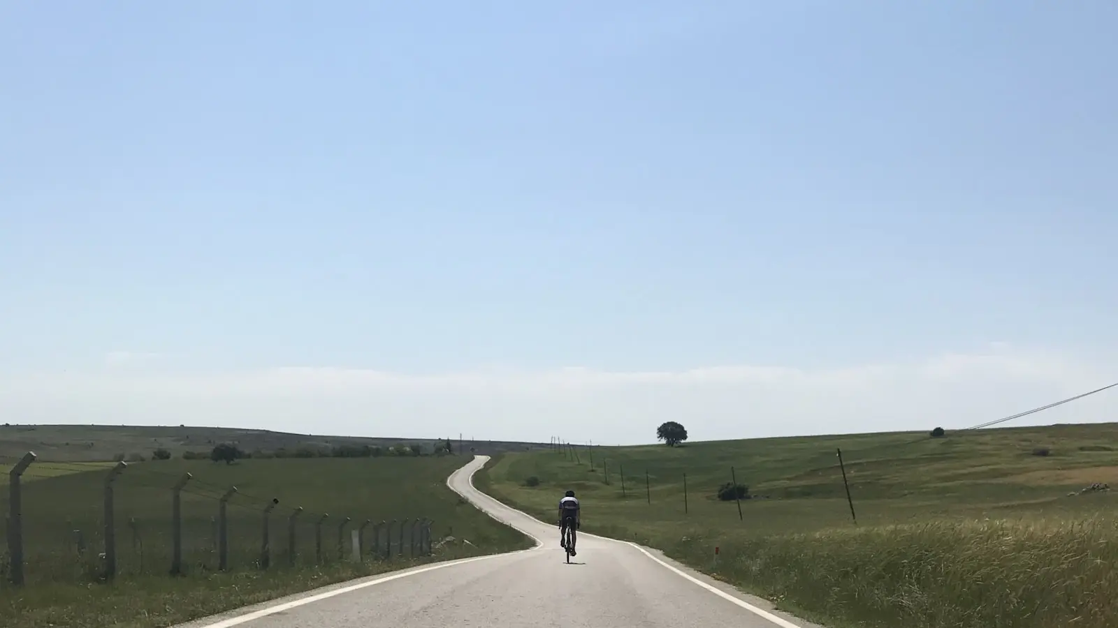
A scenic rural route can feel much harder than its mileage suggests because distance measures only how far the bike travels, not the work required to cover that ground. Repeated climbs, steep ramps, rough lanes, wind, traffic, navigation pauses and limited services can turn a modest loop into a demanding day.
The better question is not simply, “How many miles is it?” It is, “What will this route ask of this rider, on this bike, in these conditions?” Scenic road route difficulty reflects terrain, road characteristics, weather, logistics and the margin left when plans change.
Key Takeaways
- Mileage is only a starting point; climbing, gradients, surfaces and interruptions often determine the real workload.
- Total elevation gain matters, but repeated steep ramps and late-route climbs can be more revealing than one headline number.
- Narrow roads, rough surfaces, bends, traffic and navigation demands can make rural miles slower and more tiring.
- Wind, heat, rain and daylight can change a manageable route into one that needs a shorter loop or a clearer bailout plan.
- Judge the route against the least-prepared rider, the bike setup, luggage and the group’s available time—not an app’s estimate alone.
Mileage Measures Distance, Not the Work a Route Requires
Cycling route mileage is a useful first filter, but it is not a complete difficulty rating. Two routes of the same length can place very different demands on a rider. One may use mostly flat, direct roads with predictable surfaces and few interruptions; the other may wind through villages, climb constantly and require braking or accelerating through blind bends and junctions.
A rural route can also compress more decisions into each mile. Riders may need to assess the surface, watch for farm vehicles, choose a line through damp corners, check navigation and decide where to refill bottles. That attention adds fatigue even when the terrain is not especially steep.
The same route can feel manageable or punishing depending on the rider and setup. A lightly loaded cyclist on familiar roads may enjoy a sequence of short climbs. A rider carrying luggage, using less suitable gearing, returning after time away, or riding with a mixed-experience group may need more recovery between those same efforts.
Confidence matters as well. Riders who are uneasy on narrow roads, fast descents or loose surfaces often spend more energy braking, concentrating and managing uncertainty. Route estimates are planning inputs, not promises about pace or finishing time.
Read the Elevation Profile: Total Gain Is Only the Start
Total elevation gain shows how much climbing a route contains overall, but it does not show how that climbing is distributed. An elevation profile adds context by showing where the road rises and falls. Grade describes steepness, while climb length indicates how long a rider must sustain that effort.
A single sustained moderate climb can be demanding, but it may be easier to pace. A rider can settle into a gear, manage effort and treat it as one continuous task. Repeated short hills can be more disruptive because every ramp calls for another acceleration, gear change and recovery period.
This is why hilly cycling routes can feel disproportionately difficult even when the total climbing appears modest. A saw-toothed profile may contain few major climbs but little truly easy riding. The descents between ramps may be too short, technical or interrupted by bends and junctions to provide meaningful recovery.
For road gradient planning, focus on four questions: Where are the steepest sections? How long do they last? How many arrive in succession? And do they appear in the final third of the route, when fatigue, weather and food intake may already be factors?
Late climbing deserves special attention on a scenic loop. A route that keeps its hardest ramps for the ride home leaves less room to adapt if the group is slower than expected or conditions worsen. Before committing, identify the total climbing, the sharpest sections and what remains after the main sightseeing stops.
Route-planning tools may display elevation and grade data differently, and mapped elevation information is not always exact. Treat the profile as a practical guide rather than false precision, then cross-check the steepest sections on the route map where possible.
Rural Road Conditions Can Turn Easy-Looking Miles Into Slow Miles
Road quality changes both physical effort and the attention needed to ride safely. Rough chipseal, broken pavement, loose gravel, potholes, wet leaves and poor drainage can reduce comfort, slow progress and make braking less predictable. Even a shallow descent may require care when grip or visibility is uncertain.
Narrow lanes are not automatically quiet or low-risk. Their practical difficulty depends on sightlines, passing space, vehicle speeds and the mix of local traffic. Farm, delivery and visitor traffic can all affect a road that looks peaceful on a map. Blind bends and high hedges may also limit how early riders and drivers can see each other.
Road classification is a useful starting point, not a complete safety or comfort assessment. Check the route’s road types, then use satellite or street-level imagery where available to examine width, bends, climbs and possible alternate roads. Surface notes may help identify questions to investigate, though conditions can change quickly.
Frequent turns, village centres, gates and route-finding pauses reduce average moving speed. The issue is not only lost time. Stop-start riding breaks rhythm, especially on rolling terrain, and can make a route feel more demanding than a continuous road of the same distance.
Do not count every downhill mile as repayment for an uphill mile. Descending may require less pedalling, but poor surfaces, tight bends, rain, wind or traffic can turn it into a technical section requiring focus rather than recovery.
Weather and Exposure Change the Route Before You Start
Wind can alter scenic road route difficulty more than mileage suggests. A headwind raises the effort required to maintain progress, while gusts can affect steering and confidence on exposed roads. A tailwind early in an out-and-back ride may feel helpful but can leave the rider facing the harder wind direction when energy is lower.
Windy bike rides deserve extra attention on coastlines, ridges, open farmland, bridges and gaps between sheltered villages. A route can shift quickly from calm to exposed once hedges, trees or buildings no longer provide cover. Crosswinds may also create a steady mental load when they change direction around open terrain.
Heat, humidity and full sun can slow a route even without major climbing. They can increase discomfort, make stops more necessary and complicate clothing, food and water decisions. Rain reduces visibility and can make leaves, painted markings, drainage areas and loose surfaces harder to judge.
Check conditions for the route location and the hours you expect to ride, rather than relying only on a daily summary for the nearest town. Compare the forecast wind direction with the route’s major legs. If the hardest climb, most exposed road or longest return coincides with worsening conditions, consider reversing the loop, starting earlier, shortening the route or using a more direct return.
The aim is not to avoid every inconvenience. It is to avoid stacking several demanding factors—such as luggage, steep late climbs, rain and an exposed headwind—without enough time, energy and route options in reserve.
Plan for Elapsed Time, Stops, Daylight, and a Way Out
Moving time is the period when the bike is in motion. Total elapsed time includes everything else: photo stops, cafés, heritage sites, navigation checks, junction waits, water refills, mechanical delays and longer rests after difficult climbs.
For scenic rides, total elapsed time often matters more than moving time. The point may be to stop at a viewpoint, explore a village or eat somewhere along the route. Treating those pauses as failures to meet an app estimate can create unnecessary pressure and encourage poor decisions late in the day.
Build a conservative finish-time plan. Consider where food, water, toilets and basic repair support may be available, especially on remote stretches. Phone coverage can be inconsistent in some areas, so download route information where possible and make sure the group understands key turns instead of relying entirely on a live signal.
Daylight changes the consequences of a delay. A wrong turn, mechanical issue or slower rider is easier to manage with time and visibility in reserve. Shorter winter days, wooded lanes and heavy cloud can reduce useful light well before the day feels finished.
Every scenic route benefits from a bailout check. Identify a shorter road home, a clear turnaround point, pickup access and any transport options that might apply. The exact choice depends on the location, but the principle is consistent: a route is easier to commit to when riders know how to reduce its demands without improvising under fatigue.
Use a Simple Scenic Route Difficulty Worksheet Before Committing
A route does not need a universal score to be judged well. A short checklist is more useful because it exposes combinations of demands that a mileage number hides.
Terrain: Note total climbing, the number of meaningful climbs, the steepest ramps, the length of sustained rises and whether difficult climbing comes late.
Roads: Review width, surface, bends, traffic exposure, navigation complexity and the quality of major descents. Consider whether an alternate road exists around a section that looks uncomfortable.
Conditions: Assess wind direction, exposed stretches, temperature, precipitation, daylight and the possibility that conditions may shift during the ride.
Logistics: List water, food, toilets, repair possibilities, phone coverage, bailout routes and a clear turnaround point.
Rider fit: Compare those demands with bike setup, luggage, recent climbing experience, descending confidence, recovery needs and the limits of the least-prepared rider—not only the strongest one.
If several categories look demanding, simplify something. Reduce distance, lower the climbing, choose a more direct return, split the route into stages or save the full scenic loop for a better weather window. That is not lowering ambition; it is matching the route to the day rather than letting mileage make the decision alone.
FAQ
Why can a 30-mile scenic cycling route feel harder than a longer ride?
A 30-mile route can include repeated climbs, steep ramps, rough lanes, wind exposure, traffic decisions and frequent stops. A longer route on flatter, smoother and more direct roads may allow a steadier rhythm. The harder ride is the one that demands more work, concentration and time, not necessarily more distance.
Is total elevation gain enough to judge hilly cycling routes?
No. Total gain is useful, but climb length, grade, repeated ramps and the location of climbs matter too. Two routes with similar total ascent can feel very different if one concentrates the climbing into a steady rise while the other repeatedly forces hard efforts throughout the day.
How should I plan a rural road cycling route when strong wind is forecast?
Check how the wind direction aligns with the route’s longest and most exposed legs. Do not assume an early tailwind makes the full ride easier, especially on an out-and-back route. Consider reversing the loop, reducing exposed mileage, starting at a different time, carrying suitable layers and setting a clear turnaround or bailout plan.