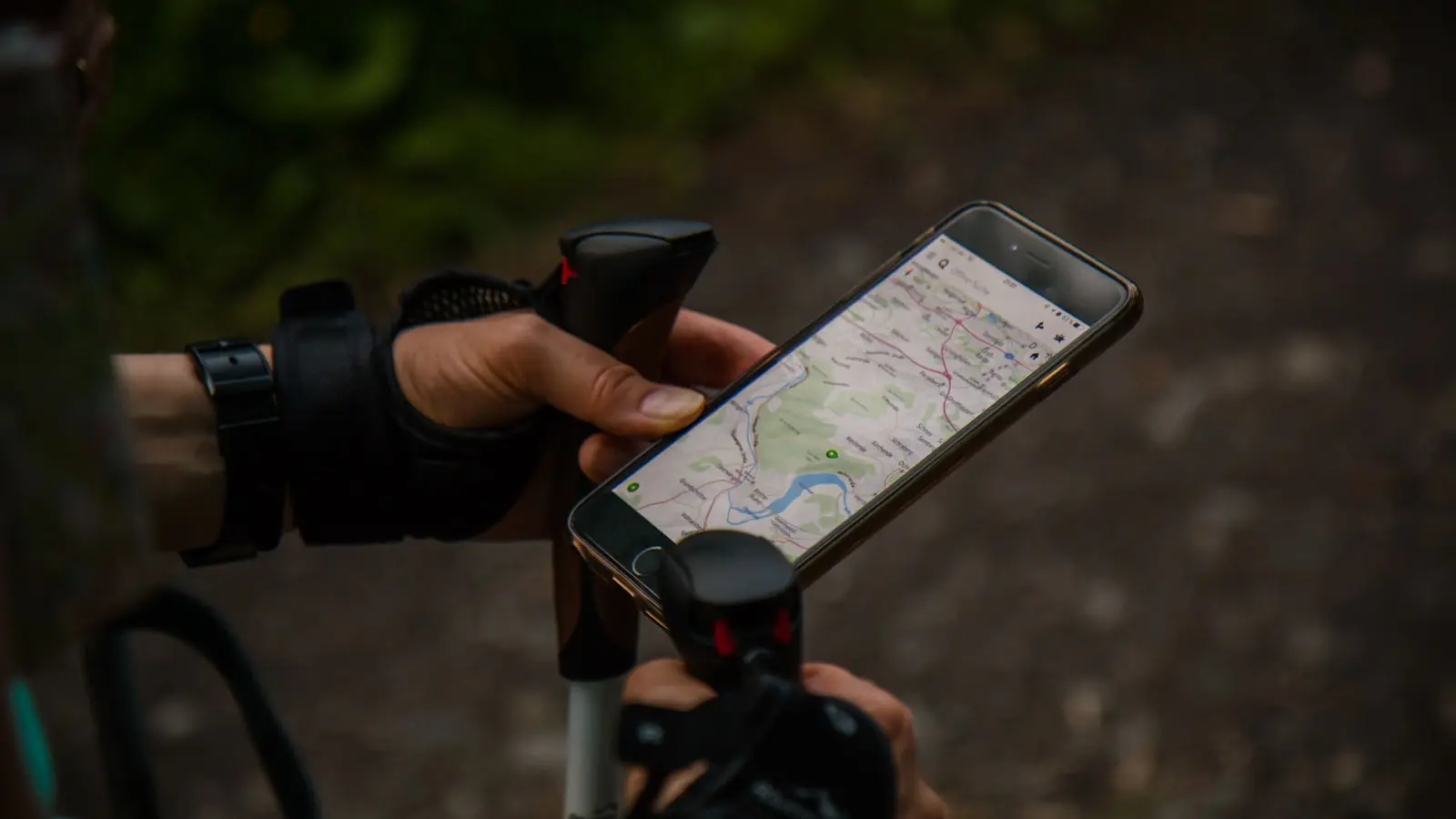
Driving through the winding roads of Connemara or the remote valleys of Donegal is a staple of any Irish road trip. But for many travelers the experience quickly turns frustrating when the phone screen displays the dreaded “No Service” message. Cellular coverage in rural Ireland remains notoriously patchy. According to ComReg’s 2023 report, significant portions of counties like Donegal, Mayo, and Galway still lack reliable 4G, with many spots clinging to a weak 3G or nothing at all. This isn’t a fringe issue; it’s a predictable reality that demands preparation.
The core problem is simple: offline navigation is no longer optional. Travelers who rely solely on live Google Maps or Apple Maps risk getting stranded without turn-by-turn directions, access to local business listings, or emergency contacts. The solution rests on downloading offline maps and using dedicated apps designed to function without an active data connection. But not all offline apps are created equal. Some offer detailed topographic data, others prioritize road networks, and a few drain battery life faster than a diesel heater in a cold cottage.
We tested the most recommended offline navigation apps under real Irish conditions. We drove through Glencolmcille, walked the Slieve League cliffs, and cycled along the Wild Atlantic Way — all without an active SIM. Here’s what worked, what didn’t, and how to pick the right tool for your trip.
Maps.Me: The All-Rounder
Maps.Me has long been the default recommendation in travel forums (r/irishtourism, TripAdvisor) for offline navigation in Ireland. It uses OpenStreetMap data, which means the map detail can be surprisingly rich — small boreens, footpaths, and even isolated ruins are often marked. Downloading the entire island of Ireland takes about 800 MB and yields a highly responsive map engine.
Under the hood, Maps.Me handles offline routing reasonably well. Turn-by-turn directions for driving and walking are pre-calculated locally. The app also stores points of interest (POIs) like pubs, B&Bs, and petrol stations, which is crucial when you’re in a dead zone and need fuel or a meal.
But there are trade-offs. Maps.Me’s search function degrades significantly without a connection. Typing a specific place name (e.g., “Kylemore Abbey”) often fails to return results, even if the POI is in the offline data. You must browse the map manually. (Is this actually acceptable for a 2025 app?) Also, the app’s interface has gotten cluttered with booking.com promotion tiles and hotel ads. Not a dealbreaker, but annoying.
Battery impact: Moderate. The app sips power when left open in the background, but continuous navigation with screen on drains about 12% per hour on a modern phone. It’s not the worst offender.
Organic Maps: The Minimalist Alternative
Organic Maps is a lightweight fork of Maps.Me that strips out all the corporate bloat. It’s open source, ad-free, and surprisingly capable. The same OpenStreetMap base means the same level of detail for rural roads and trails. The key difference is performance and privacy.
In our tests, Organic Maps launched instantly and rendered maps faster than Maps.Me, especially when zooming in and out. Offline search was more reliable because there’s no cloud dependency — it searches the local database without network fallback, which often causes Maps.Me to freeze. For rural Ireland, this is a clear advantage.
However, Organic Maps lacks some functional features: no public transit integration, no real-time traffic, and no integrated weather overlay. But for pure navigation, it just works. (Thankfully.) If you value speed and simplicity, this is the pick.
Battery impact: Lower than Maps.Me — roughly 8% per hour during navigation. The reduced UI overhead pays off.
Google Maps Offline: The Familiar Fallback
Google Maps offers offline downloads for selected regions, including all of Ireland. You can download a custom rectangle covering your route. The process is straightforward: search “Ireland”, tap the download button, and adjust the area. A full map of all of Ireland takes about 1.5 GB, but you can limit it to, say, the west coast (500 MB).
Offline navigation works exactly like online — turn-by-turn voice guidance, lane guidance, and search within the downloaded area. This is Google’s strength: the interface is polished and familiar. But the offline data is not as rich as OpenStreetMap-based apps for very remote trails or minor roads. Google sometimes lacks the last 200 meters of a dirt track to a hidden beach.
More critically, Google Maps offline expires after 30 days unless you connect to the internet. If you’re on a multi-week trip without regular Wi-Fi, you’ll need to re-download in a library or cafe. Also, Google’s battery optimization is aggressive — the app can kill itself in the background if you have battery saver on, causing navigation to drop without warning. We lost route guidance twice on the same drive through Connemara. (Frankly, recording setups like this belong in the past.)
Battery impact: 10-14% per hour, depending on screen brightness and GPS accuracy setting. Higher than Organic Maps.
Komoot: For the Active Traveler
Komoot is built for hiking and cycling, not just driving. It also relies on OpenStreetMap but adds elevation profiles, surface type (gravel, tarmac, singletrack), and curated route collections. For exploring Donegal’s coastal cliffs or Mayo’s bogs, this is the better tool.
Offline functionality is excellent. You download entire regions (e.g., “Connacht”) and the app retains full routing for walking and cycling. Turn-by-turn voice is available, though the British accent can be grating. The real win is the surface detail: Komoot tells you whether a road is paved or unsurfaced, which is vital in rural Ireland where “road” can mean a mud track with grass in the middle.
But Komoot is not free for all features. Downloading and using basic navigation is free, but premium features like multi-day route planning and offline maps for the entire country require a one-time payment (about $34). For a single trip, the free version with a few downloaded regions may suffice.
Battery impact: High. Komoot polls GPS aggressively, draining about 15% per hour. On a full-day hike, carry a power bank.
TFI Journey Planner and Met Éireann: Essential Companions
Navigation alone isn’t enough. For bus and train schedules in rural areas, the official TFI Journey Planner app works offline for fixed line info, but real-time updates vanish without signal. You can download timetable PDFs from the TFI website before you leave.
Weather is a critical factor in rural Ireland. Met Éireann’s app provides detailed forecasts, but to view them offline you must manually screenshot the forecast for the next few days. There is no offline download feature. (This is a gap waiting to be filled.) A better offline weather solution is to use a simple plain text file saved on the phone. Not ideal, but effective.
Battery Management: The Hidden Variable
Offline navigation is power-hungry. GPS chip, screen, and app processing all draw heavily. In rural areas with weak signal, your phone also wastes power hunting for a cell tower. To mitigate, enable airplane mode once you have your route loaded. This stops the radio drain. Also, lower screen brightness and switch to offline navigation apps that use vector maps (Maps.Me, Organic Maps) rather than raster tiles (Google Maps offline uses vector now, but still heavy).
We recommend carrying a 10,000 mAh power bank as a baseline for any full day of offline navigation in rural Ireland. The Anker PowerCore Slim is light and reliable.
Long-Term Usability and Updates
Maps.Me and Organic Maps update their OpenStreetMap data frequently (weekly). Google Maps offline maps expire after 30 days. If you’re planning a return trip, Organic Maps offers the best longevity: download once, reuse indefinitely, no forced updates. That makes it the most practical choice for repeat visitors or locals.
Repairability? Not an app feature, but consider device choice: a phone with a replaceable battery (rare) or a rugged case is worthwhile in the damp Irish climate. Water damage is a real risk with constant outdoor navigation.
The Verdict: What Should You Actually Download?
For the vast majority of travelers visiting rural Ireland, the recommended stack is: Organic Maps for primary driving and walking navigation, Komoot (free version) if you plan to hike or cycle on trails, and Google Maps offline as a backup for its superior search and POI database. Download all three before you leave home Wi-Fi. Supplement with screenshots of Met Éireann forecasts and TFI bus timetables.
Do not rely on any single app. Cell coverage in places like the Meenalaragh hills or the Inishowen Peninsula is so far from any tower that even SMS texts fail. Offline maps are not a luxury; they are the only reliable way to navigate.
Ireland’s rural scenery is stunning, but the digital infrastructure lags behind. The gap between the promotional “coverage maps” and the reality is wide. Smart travelers close that gap with the right apps and a bit of foresight. Don’t learn the hard way — download now, not when you’re parked on a hillside staring at a spinning wheel.