Introduction
When your smartphone shows “No Service” in the vast, wind-scoured valleys of the Pamir Mountains, the digital lifeline you assumed would always be there snaps. Relying on mobile data for navigation in Central Asia is a gamble that travelers lose every season. Uzbekistan and Tajikistan have improved their internet infrastructure, but coverage remains patchy—especially in the remote regions that draw the boldest explorers. The 7 Lakes (Haft Kul) near the Tajik border, the Kyzylkum Desert, or the mountain passes of the Fann Mountains all demand a fail-safe navigation setup. Offline mapping apps are not a luxury; they are a prerequisite.
Why Offline Maps Matter in Central Asia
Central Asia’s connectivity landscape is a patchwork. In Tashkent or Samarkand, 4G LTE is widespread and fast. But drive 30 kilometers into the countryside, and the signal evaporates. In Tajikistan’s mountainous east, entire villages have no cellular coverage at all. Even where roaming is available, data costs can add up quickly for travelers crossing multiple borders. Offline maps eliminate the dependency on real-time internet. They let you navigate using GPS alone, which works without any cellular connection. The key is to download the right map data before departure—and to choose the app that handles offline routing, search, and points of interest (POIs) most reliably.
Top Offline Mapping Apps Compared
Maps.me
Maps.me is the overwhelming favorite among travelers to Central Asia. It uses OpenStreetMap data, which is surprisingly detailed for even obscure trails and footpaths. In the 7 Lakes region, for instance, Maps.me often shows the unpaved roads and hiking routes that Google Maps ignores. The app allows full offline search: you can type a destination name and get directions without any internet. Its vector maps are compressed, so a whole country like Uzbekistan takes up only a few hundred megabytes. The interface is simple and fast, even on older phones. One drawback: Maps.me does not support public transit information offline in most Central Asian cities, but for driving, walking, and hiking, it is the gold standard.
Google Maps Offline
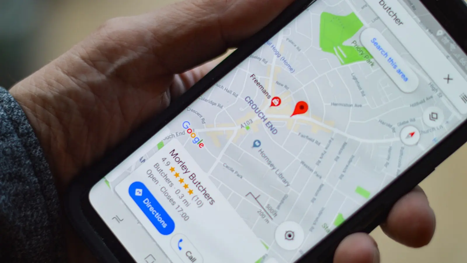
Google Maps offline is a solid backup. You can download large rectangular areas for a city or region before your trip. In Tashkent, Bukhara, and Samarkand, Google Maps provides accurate street names, business listings, and turn-by-turn navigation. However, the offline mode has limitations. You cannot download an entire country in one go—only bounded rectangles up to a certain size. For a journey that meanders from Uzbekistan into Tajikistan and back, this means managing multiple map downloads. Also, Google Maps offline does not include real-time traffic updates, and its offline search is less reliable than the online version. Still, for navigating inside major cities with minimal fuss, it remains a competent choice.
OsmAnd
OsmAnd is the power-user’s alternative. Also built on OpenStreetMap, it offers the same base data as Maps.me but with far more customization. You can download contour lines, hill shading, and even specialized layers like hiking trails or ski slopes. For remote areas like the 7 Lakes, OsmAnd’s topographic detail is unmatched. It provides offline routing for multiple transport modes—car, bicycle, foot—with options to avoid unpaved roads or tolls. The trade-off is a steeper learning curve. The interface feels dense, and some features (like voice navigation) require in-app purchases. For a one-week trip, OsmAnd might be overkill. But for serious trekkers or self-drive adventurers, it is invaluable.
Other Options (Maps.me vs OsmAnd: Which One Wins?)
A third alternative, Here WeGo, used to be popular, but its offline map coverage in Central Asia has deteriorated. Organic Maps, a fork of Maps.me that removes the commercial features, is gaining traction among privacy-conscious travelers, but it currently lacks offline routing in some regions. The simple answer for most travelers: use Maps.me as the primary app and download Google Maps offline as a backup for city navigation. If you plan to hike extensively, add OsmAnd for the topographic layers.
How to Prepare Before Your Trip
Preparation is everything. Download the maps while you still have fast Wi-Fi at home or in a hotel. For Maps.me, open the app, tap the download button, and select the entire country of Uzbekistan (about 300 MB) and Tajikistan (about 250 MB). The app will ask if you want to include routing data—always say yes. For Google Maps, open the app, search for a city like Samarkand, tap the three dots next to the search bar, and select “Download offline map.” Adjust the rectangle to cover as much area as allowed. You may need to download two or three rectangles to cover the Silk Road cities and the border areas. For OsmAnd, download the map file for each country and enable the “Contour lines” plugin if you plan to hike. All three apps require that you open them at least once while online to verify the download is complete and the maps render correctly.
Real-World Performance: City vs Remote Areas
In practice, the performance gaps between these apps become stark once you leave the pavement. In Tashkent, Google Maps offline handles traffic surprisingly well—though without real-time updates, it cannot predict sudden congestion. Maps.me is equally fluent in the city, with fast search and clear labels in both Cyrillic and Latin scripts. But out in the desert or mountains, the differences emerge. On a drive from Bukhara to the Kyzylkum Desert, Google Maps offline sometimes pushes you onto nonexistent roads because its base map data is less current. Maps.me, using community-edited OpenStreetMap, usually reflects the true ground truth. Near the 7 Lakes, where the route splits into a maze of gravel tracks, OsmAnd’s topographical shading helps you gauge altitude and identify valleys. (Frankly, Google Maps becomes near-useless here.)
A traveler on Reddit reported that Maps.me showed a path to a remote hot spring in Tajikistan that no other app had. That anecdote cuts to the core of the decision: for the edges of the map, OpenStreetMap-based apps are far more reliable than Google’s proprietary data. The reason is simple: OpenStreetMap contributors include locals, hikers, and off-road travelers who actively update trails and secondary roads. Google relies on satellite imagery and government sources, which often miss the last mile.
Tips for Downloading and Managing Maps
Avoid common pitfalls. First, do not assume the map download finished. Check the storage settings: both Maps.me and OsmAnd will show a list of downloaded maps; ensure the sizes match expectations. Second, enable offline GPS location. On Android, go to Settings > Location > Mode and set to “High accuracy” (GPS + network) if possible; even without a data connection, the phone will lock onto satellites faster if the radio is active. On iPhone, the GPS works automatically for offline apps. Third, download multiple scales. In Maps.me, you can also download smaller regional maps if you do not want the entire country—useful for a short trip. Fourth, bring a power bank. GPS navigation drains the battery quickly, especially when the phone is constantly searching for a signal. In remote areas, charging points may be nonexistent.
Conclusion
Choosing the best offline mapping app for Uzbekistan and Tajikistan comes down to where you are going and how you are traveling. For the vast majority of travelers—those hitting the Silk Road cities and making a few day trips into the mountains—Maps.me is the essential tool. It is free, easy to use, and has the most comprehensive offline coverage for both cities and remote areas. Add Google Maps offline as a supplementary layer for its accurate business listings and ease of use in urban centers. If you are hiking the 7 Lakes or crossing the Pamir Highway, invest the time to learn OsmAnd. The marginal effort is dwarfed by the confidence of knowing exactly where you are when the network bars vanish. Specs matter only if they improve experience. Here, the right app can turn a stressful “lost in the steppe” moment into a routine navigation check. Download before you go, test the app in your hotel, and then trust it—because out there, it is your only map.