Why Offline Navigation Is Non-Negotiable in the Dolomites
The Dolomites are famous for dramatic peaks and remote valleys, but that beauty comes with a serious catch: cell service vanishes as soon as you drop below a ridge or enter a deep gorge. Val Gardena, the Alta Via routes, and the area around Tre Cime are common places where hikers suddenly find themselves without a signal. Without downloaded maps, your phone is useless for navigation.
A hiker who didn’t pre-download maps may find themselves stranded when the trail disappears into a scree field. The official Italian Alpine Club (CAI) trail markers are generally reliable, but they are not always present at every junction. A smartphone with offline maps is the standard backup, but only if you prepare correctly.
Choosing the best GPS hiking app for Dolomites offline use requires evaluating which app stores detailed trail data locally, uses battery efficiently, and provides clear route guidance even when you are miles from the nearest cell tower.
Key Takeaways
- Komoot and Gaia GPS are the top choices for offline navigation in the Dolomites: Komoot for ease of use and turn-by-turn guidance, Gaia GPS for advanced map layers and multi-day trek support.
- Always download offline maps before your trip; cell service is unreliable in remote valleys and high passes.
- Enable airplane mode and carry a power bank (at least 10,000 mAh) to conserve battery during long hikes.
- Consider carrying a paper map (e.g., Tabacco 1:25,000) as a backup in case your phone fails or battery runs out.
Top 5 Apps Ranked for Dolomites Offline Use
1. Komoot – Best for Turn-by-Turn Offline Guidance
Komoot uses OpenStreetMap data and has excellent coverage of Dolomites trails. You can download entire regions for free, and the app provides turn-by-turn voice navigation that works offline. Route planning is intuitive, and you can browse other users’ trips. A free account gives you one region map; paid features unlock worldwide maps and premium layers. For most hikers, Komoot strikes the best balance between ease of use and offline reliability.
2. Gaia GPS – Professional-Grade Maps for Serious Backpackers
Gaia GPS offers multiple map layers including topo, satellite, and USGS-style overlays. Its offline caching is robust: you can pre-download large areas and zoom in without delay. The app supports GPX import and detailed route tracking. A one-time purchase of the world map costs around €29.90, or you can subscribe for additional features. The learning curve is steeper, but for multi-day Alta Via treks, Gaia GPS is a favorite among experienced hikers.
3. AllTrails – Best for Trail Discovery, Limited Offline Without Subscription
AllTrails has a massive user-uploaded trail database, which makes it great for finding routes. However, offline map downloads require a Pro subscription (about $35 per year). Without it, the app is online-only. Even with Pro, the quality of trail data for Italian routes can be inconsistent because it relies on user submissions. Some trails may have outdated descriptions or incorrect difficulty ratings. It is a decent choice if you already subscribe, but not the best pure navigation tool for the Dolomites.
4. Maps.me – Free and Lightweight Fallback
Maps.me offers free offline maps based on OpenStreetMap. It includes many lesser-known paths in the Dolomites that Google Maps misses. Download sizes are relatively small, and the app works without any internet connection. Navigation features are basic — no voice guidance or elevation profiles — but it is a reliable backup. If your primary app fails, Maps.me can get you back to known terrain.
5. Outdooractive (formerly ViewRanger) – Strong for Hut-to-Hut Routes
Outdooractive has a detailed European trail network and includes official CAI trail markers. It is subscription-based for offline access, but the map quality is high, especially for hut-to-hut treks like the Alta Via 1. The app shows trail numbers and refugio locations, which aligns well with paper maps. It is less intuitive than Komoot but valuable for those who prioritize official route data.
How the Apps Compare: Key Decision Factors for Dolomites Hikers
Trail data accuracy Komoot and Outdooractive use curated OpenStreetMap and CAI data, so they generally match the physical trail markers. Gaia GPS relies on multiple sources and is also reliable. AllTrails user reports can mislabel trail difficulty or miss recent reroutes. Maps.me is decent but may omit some seasonal paths.
Offline functionality All five allow pre-download, but Gaia GPS and Komoot offer the most reliable offline route-following. With AllTrails, offline is locked behind a paywall. Maps.me works offline but lacks advanced guidance. Outdooractive requires a subscription for offline maps.
Battery consumption GPS-active apps typically drain 10–15% per hour depending on screen brightness and background processes. Using airplane mode (to stop signal searching) can reduce drain. Carrying a 10,000 mAh power bank is recommended for full-day hikes.
Cost
- Komoot: free for one region; worldwide map pack available as one-time purchase or subscription.
- Gaia GPS: subscription or one-time purchase (world map ~€29.90).
- AllTrails: Pro subscription ~$35/year; free version online-only.
- Maps.me: free with optional donations.
- Outdooractive: subscription required for offline maps.
Ease of use AllTrails is the most beginner-friendly for discovering trails. Komoot is also intuitive. Gaia GPS has a steeper learning curve but is more powerful for custom route planning. Maps.me is simple but limited. Outdooractive sits in the middle.
How to Prepare Your Phone Before a Dolomites Hike
-
Download offline maps at home or hotel using Wi-Fi. For Komoot, select the region (e.g., Alta Via 1 or Tre Cime) and tap download. For Gaia GPS, choose the area and save to your device. Ensure the map tiles cover the full extent of your planned route plus buffer.
-
Save GPX tracks from trusted sources. The CAI publishes official routes online; Komoot collections are also curated. Load these into your app before you leave cell service.
-
Enable airplane mode during the hike. Your phone will stop searching for signals, saving battery and preventing distractions.
-
Carry a power bank rated at least 10,000 mAh. On multi-day treks, you may need to recharge each evening. Keep the phone in a waterproof bag.
-
Test offline navigation on a short familiar walk before your trip. Verify that your app shows your location without a data connection.
Should You Still Carry a Physical Map as Backup?
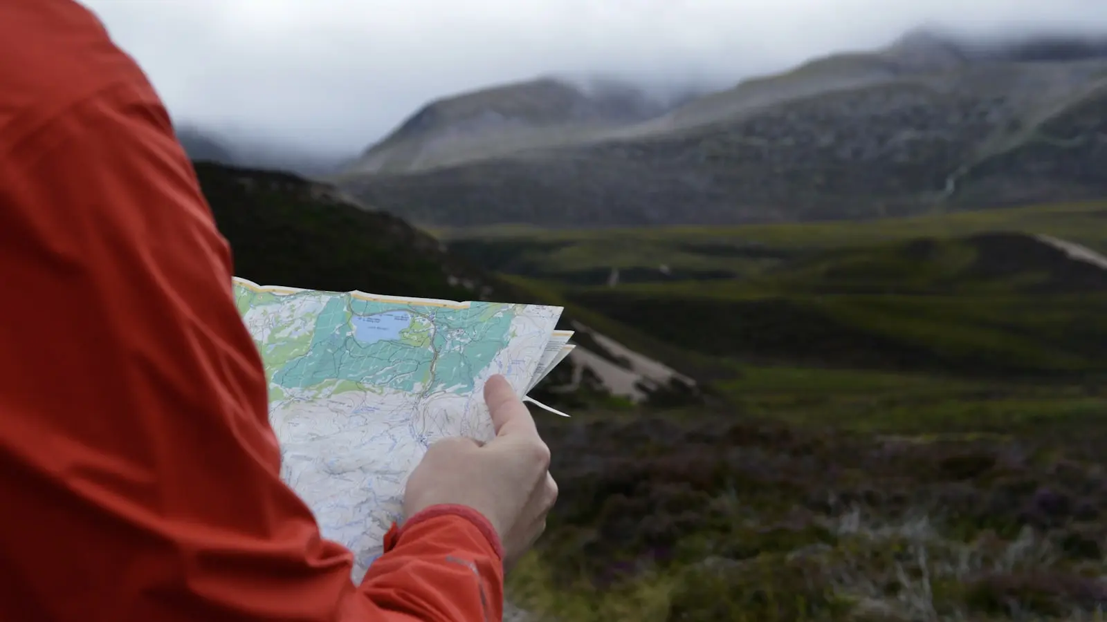
Yes, a paper map is a wise safety net. It never runs out of battery, works in rain or snow, and does not need a signal. The standard for the Dolomites is a Tabacco 1:25,000 map, which shows every trail with CAI numbering. The downside is that you need to know how to read a map and use a compass. In fog or featureless terrain, matching the map to reality can be tricky.
Best practice: use your phone app as primary navigation, but pack a paper map and a small compass in your daypack. If your phone dies or gets damaged, you still have a way to find the trail.
Frequently Asked Questions
Which hiking app has the best offline maps for the Dolomites? Komoot and Gaia GPS lead for detailed, route-ready offline map sets. Maps.me offers a free alternative for basic navigation. Outdooractive is excellent for official CAI routes.
Can I use AllTrails offline without a subscription? No. Offline map downloads require an AllTrails Pro subscription, which costs about $35 per year. The free version works only with an internet connection.
Does the Club Alpino Italiano have its own app? Yes. The Sentiero Italiano CAI app shows official CAI trails overlaid on OpenStreetMap. It is available in Italian on the Google Play Store. It is useful for following marked paths but has fewer features than dedicated hiking apps.
How do I choose between Komoot and Gaia GPS? If you prefer simple turn-by-turn guidance and a user-friendly interface, go with Komoot. If you need advanced map layers and custom route creation for multi-day treks, Gaia GPS is stronger. Both work well offline.
What should I do if my app loses GPS signal? Wait a few seconds; the phone often reconnects to satellites. If not, move to an open area away from cliffs or dense trees. Keep your paper map and compass handy as a fallback.